Utata: Birds' Eye View


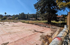
Now that we have the great mapping capability on our project pages, we thought we'd have a project that would be tie into that. Here's the idea. Take a photo (or photos) of the landscape from the highest point you can get to. As Bryan said to me "it has to be high enough that if you fell, you'd die!" :) Now, the highest point I'm likely to get to this weekend is the balcony on the second story of my house...and I'm not going to put it to the test.
Let's try to get landscapes from a bird's point of view.
We encourage you to geotag your photos so that we can look at the map and see the world from Utata's point of view.
Utata: Birds' Eye View has 156 entries.